Free city map posters, made and printed your way
Every poster here is drawn from OpenStreetMap data as vector tiles and redrawn at your chosen paper size — never upscaled from a screenshot. Export a high-resolution PNG, or a 300 DPI PDF with 3 mm bleed and crop marks that a print shop can use directly. No account, no watermark.
The cities below are starting points chosen because each one has a distinctive street pattern — a river that loops, a grid with a diagonal through it, a rail line that circles the centre. Each page explains what to frame and why. If the place you want is not listed, search for it directly: anywhere on earth will render.
Europe
North America
Asia-Pacific
Every poster, 12 palettes and 5 fonts
Each palette ships with its own typography and caption styling, so an unedited poster already looks designed. The palettes are Porcelain, Ink, Plotter, Midnight, Indigo, Cyanotype, Sepia, Terracotta, Forest, Blush, Grayscale, Black — and each one changes the map itself, not just a filter over it: road weights, label colours and water tones are all part of the theme.
Choosing an orientation for the city you pick
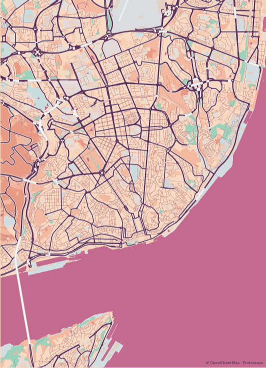
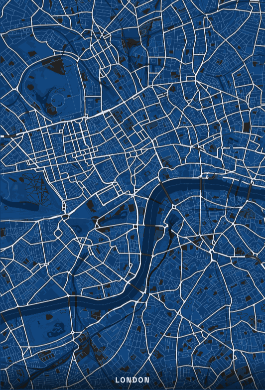
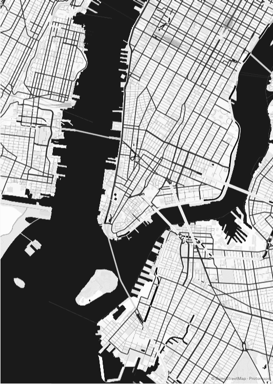
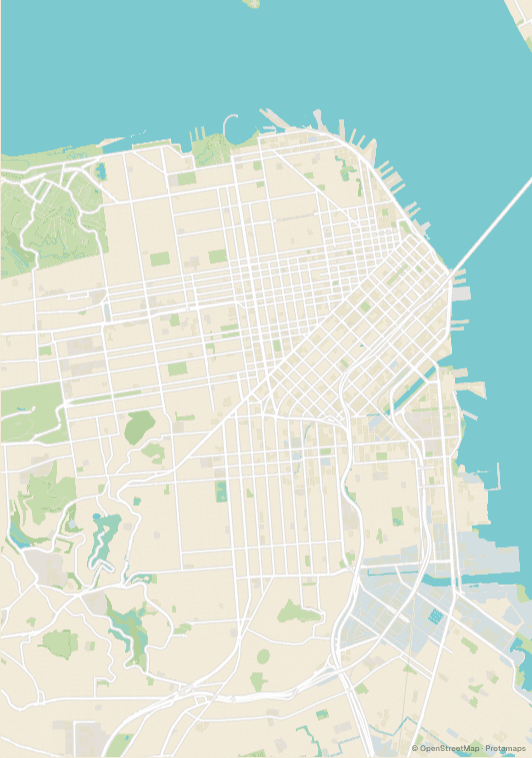
The shape of a city decides the shape of its poster more than taste does. Cities built along a single river — Lisbon on the Tagus, London on the Thames — sit naturally in a portrait frame, with the water as a band across the lower third and the street fabric stacked above it. Island and peninsula cities are usually the opposite: New York's Manhattan is four times taller than it is wide and demands portrait, while San Francisco is close to square and wastes the least paper in a square frame.
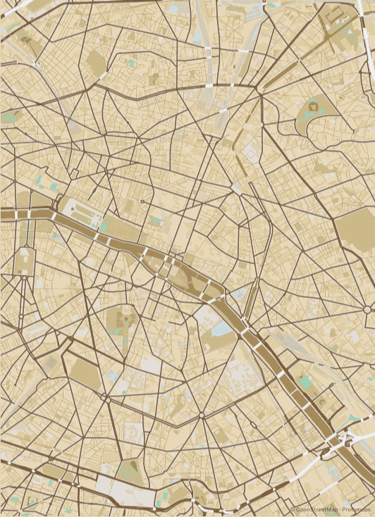
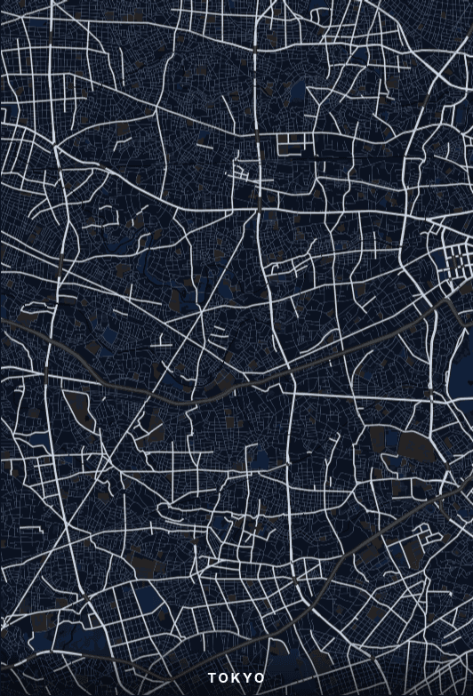
Cities with uniform street texture and no dominant feature — Tokyo is the clearest example — need more paper than you would expect. Below A3 the mesh of small roads fills in as solid tone and the poster loses the detail that made it interesting. Cities with a strong single organising line, like Paris and its boulevards, stay legible much smaller. Each city page below notes which case it falls into.
Questions about city map posters
Can I make a poster of a city that isn't listed here?
Yes. These pages are starting points, not a catalogue — the composer works with any place on earth. Search a city, a neighbourhood, a street address or a pair of coordinates and it will render, because the underlying data is OpenStreetMap's global dataset.
What makes these different from buying a city print online?
Print-on-demand shops sell you a finished poster in a fixed crop. Here you choose the exact framing, palette and typeface yourself, and you get the file rather than a parcel — so you can print it at whatever size you like, as many times as you like.
How do I choose which city framing to use?
Each city page suggests neighbourhoods worth centring on and explains what makes that city's street pattern distinctive. Start from one of those, then pan and zoom in the composer until the crop looks right — the preview matches what gets printed.
Are the exports really free?
Yes. There's no account, no watermark and no export limit. Higher-resolution PDF output with bleed and crop marks is unlocked free while the tool is in beta.
Which cities work best as posters?
Cities with a strong single organising feature tend to compose most easily — a river bend, a grid with a diagonal through it, a rail loop. Cities with uniform street texture need a larger paper size to stay legible, which each city page notes where it applies.