Maps designed for your walls
Custom map posters, free to make and print.
Create custom map posters from anywhere on Earth. Download a free high-resolution PNG, or export a print-ready 300 DPI PDF with bleed and crop marks — free while in beta.
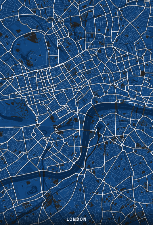
London
Cyanotype palette
How to make your map poster
Three steps, no account, and nothing to install. The preview you frame on screen is the crop that gets printed.
- 01
Search a place
Any city, neighbourhood, or street address on earth — or drop a pin straight onto the map and let it reverse-geocode the title for you.
- 02
Make it yours
12 palettes and 5 fonts, plus borders, captions, rotation and tilt. Each palette ships its own typography, so the default already looks designed.
- 03
Export to print
A high-resolution PNG, or a press-ready PDF with bleed and crop marks, drawn at the exact physical size of the paper you picked.
Need a starting point?
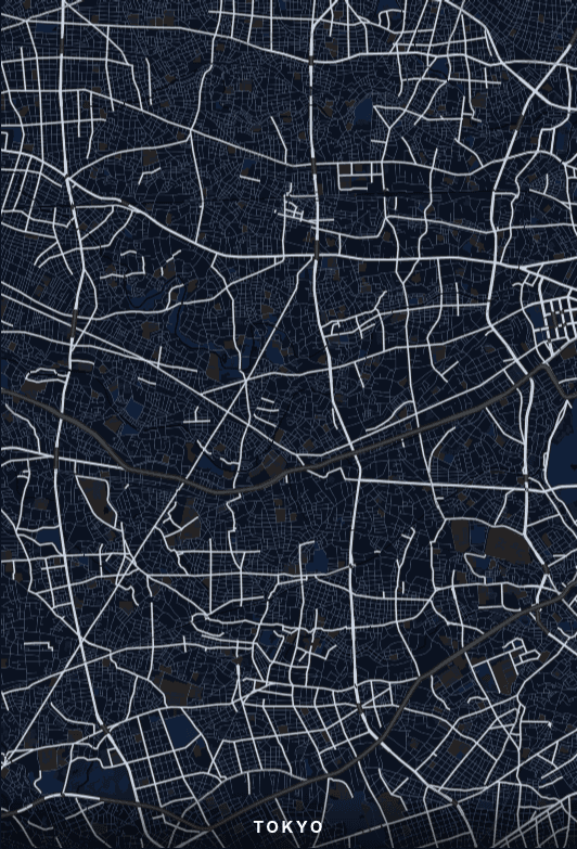
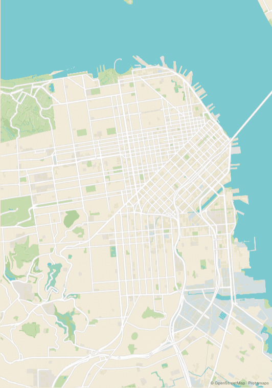
See how each city looks as a poster, then open it in the composer.
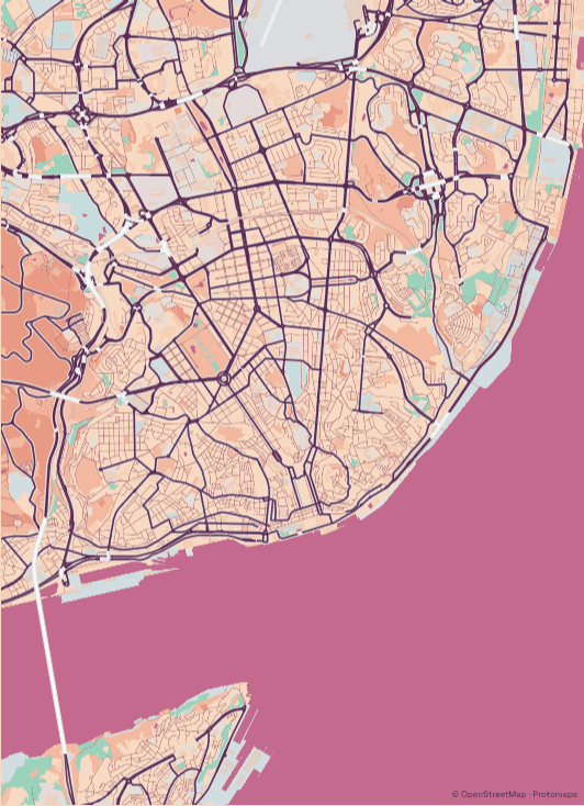
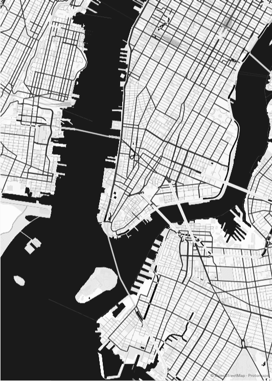
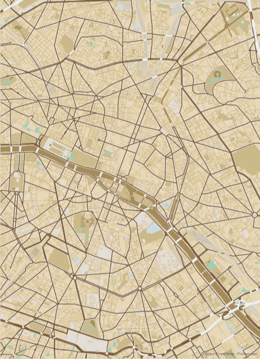
Built for printing, not screenshotting
Most free map tools hand you a screen-resolution image and leave the rest to you. These files are prepared the way a print shop expects to receive them.
- 300 DPI at real millimetres
- Every paper size is defined in millimetres and the map is redrawn at that physical size. Nothing is upscaled from a preview, and the export zoom is compensated so the printed crop matches what you framed on screen.
- 3 mm bleed and crop marks
- Optional bleed extends the artwork past the trim line so a slight shift on the guillotine never leaves a white edge. The PDF carries its trim and bleed boxes in points, so the shop's software reads the intended size directly.
- Colour and size written into the file
- PNG exports carry an sRGB colour profile and a physical resolution tag. Without those, a printer has to guess — which is why files from other tools often come back the wrong size or a shade off.
12 palettes, designed for paper
A palette here is not a filter laid over the map — it changes the cartography itself. Road weights, label colours, water tone and the casings around each street are all part of the theme, which is why an unedited poster already reads as a designed object.
- Porcelain
- Ink
- Plotter
- Midnight
- Indigo
- Cyanotype
- Sepia
- Terracotta
- Forest
- Blush
- Grayscale
- Black
Sizes that fit frames you can actually buy
ISO A-series, US letter sizes and the standard art-print dimensions, in portrait or landscape. Pixel counts below are the real export sizes at 300 DPI.
| Size | Millimetres | Inches | Pixels at 300 DPI |
|---|---|---|---|
| A4 | 210 × 297 mm | 8.3 × 11.7" | 2480 × 3508 |
| A3 | 297 × 420 mm | 11.7 × 16.5" | 3508 × 4961 |
| A2 | 420 × 594 mm | 16.5 × 23.4" | 4961 × 7016 |
| 12 × 16 | 305 × 406 mm | 12.0 × 16.0" | 3600 × 4800 |
| 18 × 24 | 457 × 610 mm | 18.0 × 24.0" | 5400 × 7200 |
| 24 × 36 | 610 × 914 mm | 24.0 × 36.0" | 7200 × 10800 |
Questions
Is it really free? Is there a watermark?
Yes, and no. Every export is free and unwatermarked, with no account and no download limit. The higher-resolution PDF output with bleed and crop marks is unlocked free while the tool is in beta.
What resolution will my map poster print at?
Up to 300 DPI, which is the standard a commercial print shop expects. The file is rendered at your chosen paper size rather than stretched from a screen-sized image, so an A2 export is genuinely an A2 file.
Can I make a map of a small town or an exact address?
Yes. The data is OpenStreetMap's global dataset, so a village lane renders as readily as a capital city. Search the address, or click the map to place a pin and it will reverse-geocode into the poster title.
Can I print it at home?
A4, A3 and 12 × 16" are all within reach of a decent home printer. Larger sizes — A2 and up, or 18 × 24" and 24 × 36" — need a print shop, because most home printers cannot feed paper that size at all.
Do I need an account?
No. There is no sign-up, no email gate and nothing stored server-side — your work in progress is kept in your own browser until you export.